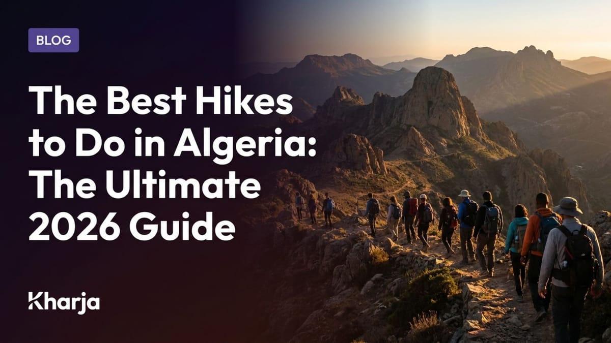
The Best Hikes to Do in Algeria: The Ultimate 2026 Guide
Last updated: July 29, 2026
The Best Hikes to Do in Algeria: The Ultimate 2026 Guide
Algeria, the largest country in Africa, possesses an extraordinary geographical diversity that makes it an untouched paradise for walking and adventure enthusiasts. From the snow-capped peaks of the Djurdjura to the secret oases of the Sahara, passing through the coastal cliffs of Kabylie and the eucalyptus forests of the Blidean Atlas, the opportunities for exploration are endless. Whether you are an experienced hiker seeking vertical summits or a family looking for a refreshing walk under centennial cedars, hiking is the best way to reconnect with Algerian nature. However, embarking on an adventure requires good preparation, knowledge of the trails, and strict respect for the local environment. Kharja, the first Algerian outings platform has designed this comprehensive guide to introduce you to the most spectacular hiking trails in Algeria and provide you with all the practical advice to prepare for your getaways safely.
Thanks to our field expertise and the monitoring of hiking clubs across all 58 wilayas, we have selected ten must-visit itineraries. This guide compares distances, difficulty levels, and the specific characteristics of each region to help you choose your next trekking destination in Algeria.
🎯 Key Takeaways
- Landscape Diversity: Algeria offers three main types of hikes: Saharan trekking (Tassili and Hoggar), high-mountain hiking (Djurdjura and Aurès), and forest or coastal hikes (Chréa, Gouraya, and El Kala).
- Crucial Seasonality: Prioritize Northern Algeria from May to October for summits and forests, and reserve the Grand Saharan South for the period from November to March to avoid extreme temperatures.
- Preparation and Guidance: For technical trails and the desert, being accompanied by a professional local guide or joining an authorized hiking club is essential for safety and logistics.
- Digital Planning: Use the Kharja app to locate hiking events organized near you, read verified community reviews, and follow your favorite organizers.
📋 Table of Contents
- High Mountain Hikes: The Djurdjura Range and the Aurès
- Forest and Coastal Hikes of the North
- The Saharan Adventure: Tassili n'Ajjer and Hoggar
- Comparison Table of the Best Hiking Trails
- How to Properly Prepare for Your Hike in Algeria: Gear and Safety
- Frequently Asked Questions
High Mountain Hikes: The Djurdjura Range and the Aurès {#high-mountain-hikes-the-djurdjura-range-and-the-aures}
The best high-mountain hiking in Algeria is found in the Djurdjura range in Kabylie, particularly towards the summit of Lalla Khedidja and the heights of Tikjda, as well as in the Aurès massif for grandiose semi-arid landscapes.
The Algerian high mountains offer a striking alpine limestone relief. These massifs are characterized by sharp ridges, deep chasms, and Atlas cedar forests that house endemic fauna such as the Barbary macaque.
1. Lalla Khedidja Summit (Bouira/Tizi Ouzou)
Culminating at 2,308 meters of altitude, Lalla Khedidja (Tamgout) is the highest point of the Djurdjura range. It is a demanding hike but rewarded with a spectacular 360-degree panorama over Kabylie, the Soummam valley, and, on a clear day, as far as the Mediterranean Sea.
- Classic Route: The departure usually takes place from the Tizi n'Kouilal pass (1,587m) or from Tala Rana village. The trail climbs through alpine meadows and limestone scree.
- Difficulty: Difficult. The elevation gain is significant (more than 700 meters) and the slope is steep on the final ridge.
- Best Period: From June to October. In winter and spring, snow and ice make the climb extremely dangerous without mountaineering equipment.
2. Tikjda Plateau (Bouira)
Located at 1,450 meters of altitude on the southern flank of the Djurdjura, Tikjda is a climate station and an ideal starting point for many intermediate-level hikes. The plateau is surrounded by ancient cedars and dominated by the majestic Akouker ridge.
- Popular Trail: The hike to Lake Goulmim (the highest suspended lake in North Africa, located at 1,700m of altitude) is a classic. The trail crosses lunar-like karstic landscapes.
- Difficulty: Medium. Accessible to regular walkers and active families.
- Tip: Tikjda has a national sports and leisure center (CNSLT) where you can stay and get information about trail conditions.
3. Ghoufi Balconies and the Oued Abiod Canyon (Batna)
In the Batna wilaya, the Ghoufi balconies offer a unique hike combining spectacular geology and historic Chaoui heritage. The trail descends to the bottom of the Oued Abiod canyon, winding through an oasis of date palms and abandoned troglodytic houses.
- Atmosphere: A landscape reminiscent of the Colorado Canyon, where water contrasts with ocher rock.
- Difficulty: Easy to medium. The descent and walking at the bottom of the wadi are easy; only the final climb back up requires moderate cardiac effort.
💡 Kharja Tip: Weather in the mountains can change in minutes. Before heading out to tackle Lalla Khedidja or setting off for Lake Goulmim, check our built-in weather feature on the app. For high-mountain trails, we strongly recommend joining one of the many group outings listed on explore outings on Kharja online.
Forest and Coastal Hikes of the North {#forest-and-coastal-hikes-of-the-north}
For shaded and maritime hikes in the North, the preferred destinations are the Chréa National Park above Blida, the Monkey Peak in the Gouraya National Park in Béjaïa, and the lacustrine trails of the El Kala National Park.
These coastal or plain-adjacent national parks offer a welcome coolness during the hot summer months, allowing you to combine physical activity with panoramic views of the sea or agricultural plains.
1. Chréa Cedar Forest (Blida)
Located just 50 kilometers south of Algiers, the Chréa National Park rises above the Mitidja plain. It is the green lung of the central region. The Glacière trail is one of the most popular: it crosses a dense forest of Atlas cedars and leads to ancient pits where settlers stored ice in winter.
- Interest: An immersion in nature less than an hour from the capital, with cool summer temperatures thanks to the altitude (1,500m).
- Difficulty: Easy. Ideal for an introduction to hiking and for families.
2. Monkey Peak and Cap Carbon (Béjaïa)
The Gouraya National Park borders the historic city of Béjaïa. The Monkey Peak hike climbs to the summit of Mount Gouraya (which houses the fort of Yemma Gouraya at 670m) then descends to the Cap Carbon lighthouse, one of the highest lighthouses in the Mediterranean.
- Scenery: Steep limestone cliffs plunging into a turquoise sea, flown over by peregrine falcons.
- Special Feature: You will walk under the curious gaze of the Barbary macaques that inhabit the area. Do not feed them to preserve their wild behavior.
3. The Three Lakes of El Kala (El Tarf)
At the eastern end of the country, the El Kala National Park offers exceptional ecological trails around Lakes Tonga, Oubeira, and Mellah. It is a flat hike through Ramsar-classified wetlands, housing a unique bird fauna (migratory birds, giant water lilies, and Barbary stags).
- Difficulty: Very easy. A perfect route for nature observation and bird photography.
The Saharan Adventure: Tassili n'Ajjer and Hoggar {#the-saharan-adventure-tassili-najjer-and-hoggar}
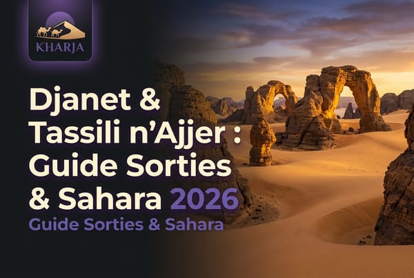
The most beautiful Saharan hikes in Algeria take place in the Tassili n'Ajjer National Park around Djanet and in the Hoggar massif near Tamanrasset, offering treks amidst spectacular sandstone formations and giant dunes.
These desert expanses are discovered mainly during multi-day treks (camel treks or walking tours with vehicle assistance), under the guidance of Tuareg guides.
1. Essendilène Plateau (Djanet)
At the heart of the Tassili n'Ajjer, the Essendilène canyon cuts deep into the black sandstone to open onto a hidden natural guelta (water pool) surrounded by oleanders and palm trees. It is an accessible and magical day hike.
- Interest: The discovery of Neolithic rock art (engravings and paintings) that makes the region world-famous.
- Difficulty: Easy.
2. Assekrem and the Hoggar (Tamanrasset)
Climbing Assekrem (2,728m) in the Atakor massif is a unique spiritual and physical experience. This is where Father de Foucauld's hermitage is located. The sunset and sunrise over the volcanic peaks of Atakor are considered among the most beautiful landscapes in the world.
- Difficulty: Medium to difficult depending on the chosen starting point for the trek.
- Important: Altitude implies very cold nights, often below freezing in winter. Proper thermal gear is essential.
Comparison Table of the Best Hiking Trails {#comparison-table-of-the-best-hiking-trails}
To help you choose the itinerary best suited to your physical condition and expectations, here is our comparison table of the main trails in Algeria for 2026:
| Trail / Itinerary | Wilaya | Distance (Round Trip) | Difficulty | Elevation Gain | Recommended Profile |
|---|---|---|---|---|---|
| Lalla Khedidja | Bouira / Tizi Ouzou | 12 km | Difficult | +720 m | Experienced hikers |
| Lake Goulmim (Tikjda) | Bouira | 14 km | Medium | +350 m | Regular walkers |
| Ghoufi Canyon | Batna | 6 km | Medium | +180 m | History & nature lovers |
| Glacière Trail (Chréa) | Blida | 8 km | Easy | +120 m | Families and beginners |
| Monkey Peak (Gouraya) | Béjaïa | 5 km | Easy | +210 m | General public, sea view |
| Essendilène Loop | Djanet | 7 km | Easy | +50 m | Saharan discovery |
| Assekrem Climb | Tamanrasset | 10 km (variant) | Difficult | +600 m | Trekkers, photographers |
How to Properly Prepare for Your Hike in Algeria: Gear and Safety {#how-to-properly-prepare-for-your-hike-in-algeria-gear-and-safety}
To hike in Algeria safely, it is essential to equip yourself with appropriate walking shoes, carry at least 3 liters of water per person, study the itinerary on a dedicated map or app, and entrust logistics to a certified local guide for remote areas.
Whether you are leaving for a few hours or several days, certain fundamental rules of safety and logistical preparation must be respected.
1. Essential Gear
The Algerian climate can be harsh, shifting from a scorching sun to sudden temperature drops in the mountains.
- Footwear: Opt for high-cut hiking shoes with good grip (lugged soles) to tackle the stony and slippery trails of the Djurdjura.
- Hydration: Plan a minimum of 3 liters of water per person. Drinking water sources are not always marked or may be dry in summer.
- Protection: Cap, sunglasses, high-protection sunscreen, and a windbreaker or fleece jacket (essential for altitudes above 1,500m).
2. Environmental Respect (Ecotourism)
Algerian nature is beautiful but fragile. Adhering to "Leave No Trace" principles is paramount.
- Waste: Systematically carry all your waste back with you. Do not leave any trash on the trails, even biodegradable items (fruit skins take months to decompose in dry climates).
- Fauna and Flora: Do not pick endemic plants or disturb animals. Keep your distance from Barbary macaques.
- Fire: In summer, the risk of forest fire is extremely high in Northern Algeria. Never light fires outside officially designated camping areas and ensure stoves are completely extinguished.
3. Rely on Professionals
For all hikes off marked trails and mandatory for the desert, hire local guides or licensed travel agencies. They possess intimate knowledge of the terrain, manage supplies and safety, and contribute to the local economy.
Frequently Asked Questions {#faq}
What is the best time of year to go hiking in Algeria?
The best period to hike in Northern Algeria (Djurdjura, Chréa, Gouraya) runs from May to October, when the trails are clear and temperatures are mild at high altitudes. For the Grand Saharan South (Tassili, Hoggar), the ideal period is from November to March to avoid the extreme heat of the desert.
Is it mandatory to have a guide to hike in the Djurdjura?
For marked trails around the Tikjda resort or on simple routes, a guide is not mandatory but recommended. However, for technical climbs (like Lalla Khedidja outside the summer season) or for remote routes through the national park, the presence of a guide or accompaniment by a local hiking club is highly recommended to avoid getting lost.
Where can one rent hiking gear in Algeria?
Individual rental of hiking gear (tents, sleeping bags, poles) remains underdeveloped in Algeria. However, most local hiking clubs and travel agencies integrate camp gear lending into their group outing packages. Remember to ask the organizers on the Kharja app.
Is hiking suitable for families with children?
Yes, many trails are perfect for children, including the Chréa cedar forest in Blida, the Monkey Peak in Gouraya (Béjaïa), and walks around the lakes of El Kala. Choose routes with low elevation gain and a maximum distance of 5 to 8 km, and ensure you have enough water and snacks.
How do I find reliable hiking clubs in Algeria?
The Kharja app lists many hiking clubs, certified professional guides, and adventure travel agencies across all 58 wilayas. You can check their profiles, see weekend-planned events, read verified community reviews, and book your spot directly online.
Conclusion
Hiking in Algeria is an unforgettable experience that reveals the unsuspected richness of our natural heritage. From the steep paths of Kabylie to the infinite dunes of the Sahara, every step is an invitation to discovery and wonder. By equipping yourself properly, respecting nature, and planning your outings carefully, you will fully enjoy the wild beauty of Algerian landscapes. Ready to lace up your boots and breathe in the fresh air?
📱 Download Kharja — The #1 Algerian outing and event application.
{{APP_BADGES}}
👤 About Kharja
Kharja (خارجة) is Algeria's first platform dedicated to event and outing discovery and management. Available on iOS, Android, and Web, it connects participants and organizers across all 58 wilayas with innovative features: geolocated discovery, real-time weather integration, and an active community of verified reviews.
🌐 kharja.life | 📱 app.kharja.life
Follow us:
📸 Instagram | 📘 Facebook | 🎵 TikTok | 🐦 X (Twitter) | 📺 YouTube